
Westland Neighbors Block Sources
Public records can describe the parcels around a Westland address without creating a current-person list. The city tax-map ArcGIS application is the adjacent-parcel starting point. BS&A can be checked one parcel at a time for property fields shown by the source. The Register of Deeds traces recorded transfers. Michigan’s voter tool answers election questions for a matched individual or address, not who is registered all along a block. Historical directories can add dated household context where an edition includes the street.
| Source | What It Shows About a Block | Access |
|---|---|---|
| Westland ArcGIS tax map | Parcel geometry, street labels, adjacent parcel IDs, layers, and available imagery context | Public map aid, not a title survey or current-person roster |
| Westland Assessment and BS&A | One parcel’s owner, taxpayer, property, tax, sale, or building fields when shown | Search each parcel; the city warns data can be incomplete or out of date |
| Wayne County Register of Deeds | Recorded grantor, grantee, instrument, date, and legal-description trail | Public index; deeper copy access can use portal, office, or mail channels |
| Michigan Voter Information Center | Election-location information for a matched address or individual | Secure personal lookup; no street-wide voter list |
| Library directories and Observer issues | Time-specific head-of-household, phone, street, or local-name entries where available | Edition and publisher coverage vary; historical evidence needs a date |
| Community Policing | Public officer and neighborhood-meeting program contacts | Program context only; no association membership list |
A parcel owner is not automatically an occupant. An owner may be an entity, trust, estate, or a person with a different mailing address. The taxpayer and mailing fields can also differ from the property address. Westland neighbors should therefore be described by the source’s own label, such as owner, taxpayer, parcel, or historic directory entry, rather than blended into an unverified block list.
Map a Westland Neighbor Block
The Westland ArcGIS viewer connects a target address to the parcels that touch or sit near it. Begin with the street spelling used by the city, then retain the map layer and date seen during the search. The map can provide orientation and a parcel relationship, but it cannot establish title, legal boundaries, or who currently occupies a parcel. For the full chain along a named street, the Westland streets resource uses a broader address-by-address method.
- Locate the target address in the city map and record the displayed parcel ID, property label, layer, and map date.
- Identify the surrounding parcel shapes and their IDs. Keep cross streets and any alternate street-facing label with the map record.
- Open each parcel separately in Westland Assessment or BS&A. Preserve the distinct owner, taxpayer, mailing, property, and legal-description labels that are actually displayed.
- Use the parcel ID or legal description to check the Register of Deeds when a recorded-transfer question remains. Keep instrument number and recording date with that separate result.
- For a historical question, add a dated directory, Observer issue, or archive result only after preserving its edition, page, and original locality label.
Westland’s city instructions say a number-only address search can produce more than one street, so select the correct street instead of assuming the first result is the right parcel. The city also uses the parcel format ### ## #### ### with spaces. A number mismatch, an old address, or a neighboring municipality is a reason to pause and compare records, not to force a match.
Westland Parcel Fields Need Labels
One property page can hold several address and name fields. The property or situs address places the parcel. An owner field identifies the owner shown by that record. A taxpayer or mailing address shows a billing relationship and may be outside Westland. The legal description and parcel ID are often the stronger bridge to a deed because older documents can use lot, subdivision, township, or other land descriptions instead of a modern street format.
| Displayed field | Careful interpretation |
|---|---|
| Property or situs address | Places the parcel for a map search; it can change with municipal formatting or renumbering. |
| Owner | Identifies the owner shown on the assessment record; it does not prove a person currently occupies the parcel. |
| Taxpayer or mailing address | Shows a billing or correspondence field where publicly displayed; preserve it separately from the property address. |
| Parcel ID and legal description | Join map, assessment, Treasurer, and deed research; copy the source wording before comparing it to an older instrument. |
| Directory address | Shows a dated printed presence that may name only a household head or use an abbreviation. |
The city’s GIS subscription is described in a March 16, 2026 agenda item as supporting aerial and 3-D mapping with side-by-side timeline views. That is useful context for a parcel’s physical appearance and map history. It does not convert imagery into proof of ownership or occupancy. Record a map comparison as a map comparison, then use the assessment or deed channel for a separate records question.
Wayne County Treasurer provides an independent delinquent-tax search by street name and optional street number or parcel ID, with a municipality selection that includes Westland. It is a tax-status check, not a complete ownership or title record. Westland Building Division adds another address route through permit, inspection, certificate, zoning, site-plan, and building-record channels. Whether a particular building record is released can vary, so retain the neutral record label and confirm access with the city.
Westland Neighbor Transfer Trails
Recorded deeds can help explain how adjoining parcels changed hands. Start from the assessment parcel number and legal description, then search the Wayne County index by grantor or grantee name and reconcile each hit to the land description, recording date, instrument type, and address if one appears. The county describes its online land-record index as reaching back to January 1, 1960, while a legacy statement differs about online copies. The current portal’s exact cutoff and copy availability should be confirmed before relying on either statement for a specific instrument.
Follow a title sequence one instrument at a time. A deed, quitclaim deed, land contract, mortgage, release, assignment, easement, lien, or plat is not the same kind of evidence. A mortgage or release may name parties without transferring title. A deed may transfer title without naming every person connected to the property. When the online path is incomplete or the record predates the available index, the Register of Deeds has office, kiosk, and mail procedures for targeted requests.
The county’s Property Alert service can send a free email notification when a document involving a subscribed personal or entity name is recorded. The alert is a prompt to inspect the instrument through the official route. It is not a title finding or proof that a document is improper.
Westland Voter Checks Stay Personal
MVIC is an election-administration tool, not a way to build a block list. Its name form requires first name, last name, birth month, birth year, and ZIP. The address route uses street address, optional apartment or lot, city, state, and ZIP to return election and location information. A result can show registration status, polling place, early-voting information, sample-ballot material, absentee tracking, and local clerk contacts.
Michigan’s public voter-file process is separate from MVIC. A FOIA request has to choose a geography such as a city or jurisdiction and excludes driver-license or state-ID numbers, month and day of birth, phone, email, signatures, and other protected QVF fields. An individual result does not prove that every person at a property is a voter, and no result does not prove a person is absent from Westland. Date-stamp any election information because the city says a precinct realignment is effective immediately.
Westland Community Contact Routes
Westland’s research did not locate a current official, comprehensive neighborhood-association directory. It would be inaccurate to invent association names or present an informal group as a city-recognized roster. The official alternatives below are appropriate for public meeting and civic-program questions. They are not resident databases and do not identify members of a block.
Community Policing
Westland says its program began in fall 1996 and includes neighborhood relations, bike and foot patrol, youth enforcement, and regular neighborhood meetings. Community and neighborhood resource officers are named on the official page. Program contact: 734-793-9370.
Community Engagement
Westland Community Engagement is the city’s official civic umbrella route when a neighborhood group is informal, unlisted, or unknown. It provides a city contact path rather than a membership directory. Program contact: 734-467-3197.
Westland Community Policing provides the official neighborhood-program and public-contact context.
The community-policing route helps direct a civic or meeting question without claiming that officers hold a list of everyone nearby.
Westland Community Engagement is the official city alternative when no comprehensive association directory is available.
Use that contact channel to ask about public programs or meeting information, not to request private household details.
Westland Neighbor History Clues
Place names make a block search more precise without turning local history into a resident list. Westland became a city from Nankin Township on May 16, 1966. Older deeds, directories, newspapers, and civic material may use Nankin Township or Wayne County instead. Norwayne, Nankin Mills, Perrinsville School, and Westland Historic Village Park are useful search anchors when they fit the street, date, or source. Preserve the original locality label before translating it to a modern map.
Wayne County’s Westland community history supplies the Nankin Township, Norwayne, Perrinsville, and incorporation context.
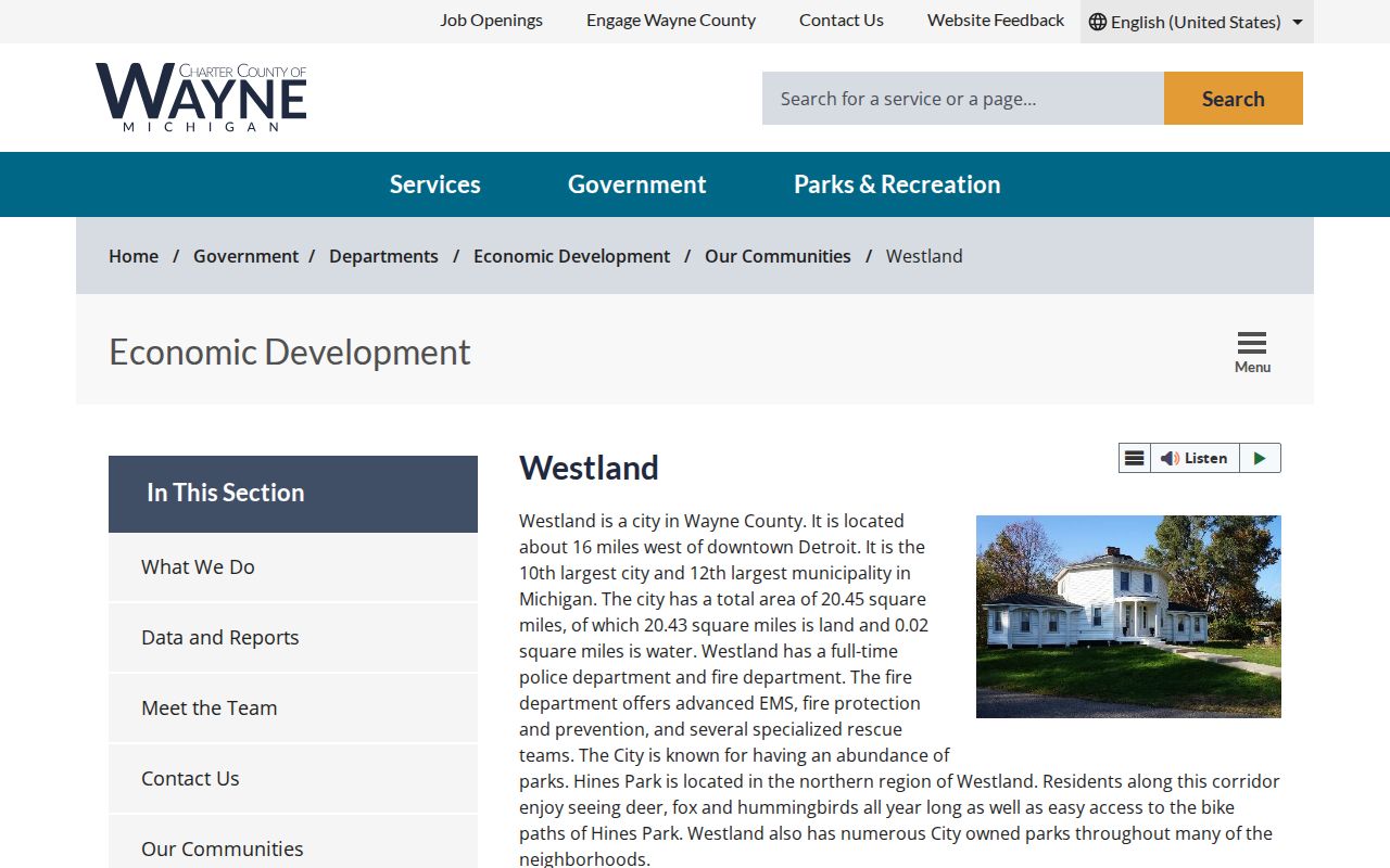
A historical directory or Observer result needs the date, edition, page, and original spelling. Those details prevent a past local mention from being treated as a current neighbor identification.
Westland Neighbor Tool Comparison
Official records and commercial neighbor-search categories have different strengths and risks. The official route shows what a particular custodian makes available and keeps the original field labels visible. Commercial categories can combine data from multiple sources, but a combined result can hide the date, jurisdiction, and reason a name appeared. Use an official source to verify any fact that matters.
| Approach | Useful for | Limit to keep in view |
|---|---|---|
| Official parcel, map, deed, court, or election source | Checking the source-specific field, date, jurisdiction, and request channel | No single source identifies every current person connected to a block |
| Commercial neighbor-search category | Generating a lead that still needs source-by-source confirmation | Dates, identities, and address roles can be blended or stale |
| Community contact route | Finding public program or meeting information | Not a list of neighborhood members or household contacts |
Note: Keep the official URL, search date, parcel or case number, field label, and any source disclaimer beside a result before comparing it.
Westland Neighbor Privacy Limits
Public means a custodian permits a specific kind of access. It does not mean every field is safe to share or that a map can be used to reconstruct private details. Michigan protects sensitive QVF fields, restricts many birth records, and uses the Address Confidentiality Program for designated addresses and forwarding. A discrepancy can be intentional. Stop at the designated address rather than attempting to locate another one.
Westland Assessment warns that its information can be incomplete or not current. GIS layers give map context, not legal title or a survey. A deed trail is about recorded transfers, while an owner or taxpayer field is not proof of who occupies a property. A no-result applies only to that source, search spelling, scope, and date. Corrections belong with the office that maintains the original record.
Lawful use. Use Westland neighbor research for lawful personal, civic, or property questions. Do not use public records to stalk, harass, intimidate, or make repeated unwanted contact with another person.