
Trace a Westland Street by Address
A Westland by-street record chain is not one streetwide resident list. Begin with a complete property address and save the source date. Westland Assessment directs a number-only address search, then asks the user to choose the correct street when a number matches more than one street. The resulting parcel can lead to a legal description, map context, tax status, recorded transfers, and dated directory evidence. Each step should retain the source label because a property owner, a taxpayer, a mailing recipient, and a person listed in a historic directory may be different people.
- Enter the address in Westland Assessment or BS&A. Test the number-only form first, record any alternate street choices, and save the parcel number and legal description shown.
- Open the same parcel in the Westland tax-map viewer. Capture the parcel shape, map label, adjacent parcel IDs, layer, and map date.
- Use the Wayne County Treasurer search with the street name and Westland municipality. Compare parcel identity and tax-year information rather than treating it as a title result.
- Search the recorded name and legal description in the Wayne County land-record portal. Record each instrument number, type, recording date, grantor, grantee, and matching legal description.
- For a dated household clue, check a West Wayne County Bresser or Polk street section through the library routes. A printed street entry can show a head of household or phone for that edition, but it does not establish current presence.
Michigan Voter Information Center is not a streetwide voter list. Its address search returns election and location information for a submitted address, while its personal name search needs matching identity fields. A scoped voter-file request is a separate Michigan FOIA process with protected-field limits. Use that distinction to keep a Westland street search focused on lawful, source-specific records.
Search Westland Street Directory Fields
BS&A Online is the city-linked record hub for Westland parcels. It offers address, name, parcel, utility, building, and property-sale routes. For an address search, the address and parcel routes are the safest starting points because they preserve the property connection. A name route may find names tied to parcels, but the result still needs a date and the displayed field label. Westland instructs users to enter a parcel number with spaces in the form ### ## #### ###.
| BS&A route | Field | Input | Westland use |
|---|---|---|---|
| Address | Street number or address | Text | Search a specific address or an address range. |
| Address | Street name | Text | Use the exact or partial street route after the number search. |
| Name | First and last name | Text | Find names tied to parcels, then verify the parcel details. |
| Parcel | Parcel number | Text | Use Westland's spaced parcel format. |
| Building | Building Department record number | Text | Open a linked permit, enforcement, certificate, or project route when available. |
| Property sale | Date, price, class, or neighborhood | Ranges and filters | Review a filtered parcel or sale set, not a complete list of people on a street. |
A BS&A detail card can contain a parcel header, property address, parcel or account number, owner or taxpayer panels, legal description, tax-year data, sale history, building information, and map controls. The city says its online property information can be incomplete, out of date, or unsuitable as proof of actual tax or special-assessment status. Record the card date and use the official office when a current correction or official confirmation is needed.
Note: A street result becomes more reliable when the parcel number, legal description, and source date remain attached to every later record.
Westland Street Records Use Three Addresses
The three-address-field test prevents a common street-directory error. The situs or property address locates the parcel in Westland. An owner or taxpayer mailing address tells where correspondence is sent when the record displays it. A directory address is a time-specific printed presence. They can agree, but they are not interchangeable. A taxpayer field may sit outside Westland, and a dated directory line may name only the head of household. Keep the original field name instead of flattening every result into one generic address.
- Parcel
- A city or county account identifier used to join assessment, map, tax, and deed research. It is not a person's identifier.
- Situs address
- The property address assigned to the parcel. It supports a map lookup, though historic formatting or numbering can differ.
- Plat
- A recorded subdivision map or related land record. Lot, block, and subdivision details can help join an old deed to a modern street.
- Criss-cross directory
- A directory arranged by street and house number. It may list a first-named household member, phone, or move clue for a particular edition.
Westland's city map and BS&A cards make the separation visible: property, owner, taxpayer, mailing, and legal-description panels can carry different data. When an address cannot be found, retry the number-only entry, the spaced parcel number, an abbreviated street type, and the city street-choice prompt. If it still fails, check a postal-city or neighboring-municipality mismatch through USPS and the Treasurer municipality selector before changing the input.
Westland Street Maps Compare Parcel Context
The Westland GIS viewer supplies map context for an address search: parcel geometry, street labels, neighboring parcel IDs, layers, and any date or imagery control exposed in the app. The city described highly accurate aerial and 3-D mapping with side-by-side timeline capability in its March 16, 2026 agenda material. That makes the viewer useful for comparing parcel context across map dates. It does not make a GIS image a deed, title report, legal survey, or proof that a named person is present.
For the Westland address chain, use the map as a comparison layer. Place the street label beside the parcel ID, then check the assessment record and the recorded legal description. If a later parcel combines older lots, document that it is a later configuration unless an official record explains the join. Westland has no verified official street-renumbering ledger in the research. When an older number stops resolving, ask Assessment, Planning, or the City Clerk about a narrow public addressing-history request that includes the parcel number, former spelling, and date range.
Note: Preserve the map layer and date because imagery can provide context without proving a legal boundary or current occupancy.
Westland Street Records by Address
Several custodians keep records that can be reached from a Westland street address. The coverage differs sharply. Assessment and GIS records identify the parcel and map; the Treasurer search is limited to delinquent-tax research; the recorder indexes transfers; building records can point to project activity; and library street sections offer dated historical presence. The table keeps the address-record chain clear about what each source actually shows and how a reader can reach it.
| Address-keyed source | Custodian | What it can show | Access and limit |
|---|---|---|---|
| Assessment and BS&A | City of Westland | Parcel, legal description, property, owner or taxpayer panels, tax and building details when displayed | Online; city accuracy disclaimer applies |
| Tax-map GIS | City of Westland | Parcel geometry, labels, nearby parcels, layer or imagery context | Online map; not a survey or title record |
| Delinquent-tax search | Wayne County Treasurer | Address or parcel tax-search result | Online; no owner-name route and not a title record |
| Recorded land instrument | Wayne County Register of Deeds | Grantor, grantee, instrument type, date, and legal-description trail | Public index; copies and older work can require office or mail routing |
| Building or planning record | Westland Building and Planning | Permit, inspection, certificate, zoning, site-plan, or code record where public | Online links, phone, in-person route, or a focused city request |
| Historic street entry | Library or archive collection | Dated street and house number, first-listed household name, phone, or move clue | Onsite, scan, or staff help; publisher and year coverage vary |
The county seat is Detroit, so a Westland parcel can require a city search first and a county office route later. For a request that the online index cannot answer, give the office the parcel number, legal description, street spelling, approximate date, desired instrument type, and preferred copy format. A narrow request is more useful than an open-ended request for names along a street.
Westland Streets Meet the Treasurer Search
The Wayne County Treasurer search is an independent check after a Westland parcel is identified. It accepts an optional street number, requires the first three or more letters of a street name, and offers Westland in its municipality menu. An alternate parcel-ID field accepts certain other-community identifiers without spaces or dashes. Use it to compare the address, municipality, parcel clue, and tax-year status. It is a delinquent-tax search, not a full ownership record and not proof of title.
The Wayne County Treasurer property-tax search shows the official address-or-parcel route used for that separate checkpoint.
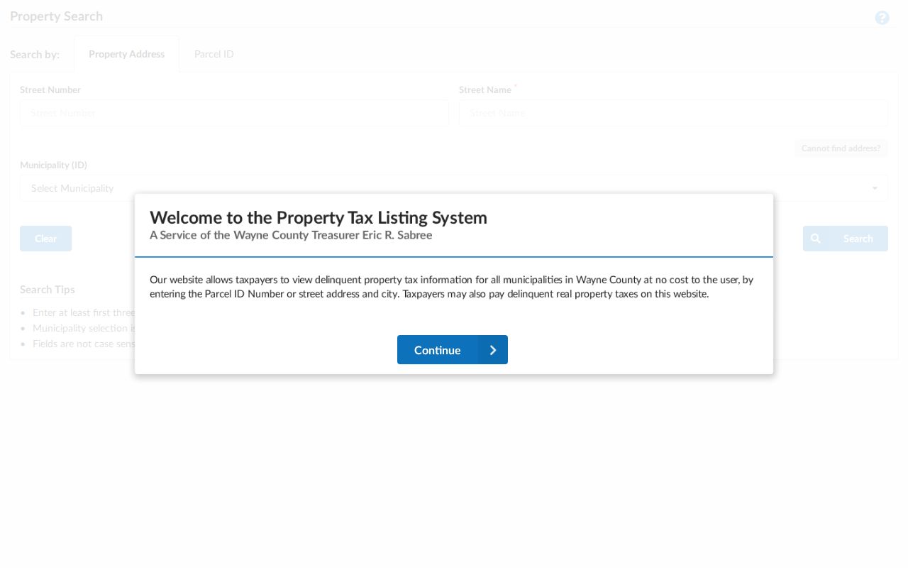
If a correct parcel has not yet updated, the research directs users to call the Treasurer at 313-224-5990. Keep that follow-up separate from a request to the Register of Deeds, since the two offices hold different records.
Westland Street Building and Planning Records
Building and planning records create a second Westland street-directory layer without turning a parcel record into a person list. The Building Division describes permit, inspection, contractor-registration, and payment routes, while Planning covers zoning and site-plan functions. BS&A can expose a Building Department record search by address or building-record number where available. A specific record may have its own release rules, so use the displayed record number and contact the city for the public-access path when an online result is incomplete.
The Westland Building Division displays the permit and inspection side of address-based research.
Use a permit, inspection, certificate, or project number as a record reference. It can explain a property event, but it does not prove who lived at the street address.
The Westland Planning Division is the companion source for zoning and site-plan context.
For a city-office fallback, provide the exact address, parcel number, record type, and time range. The Building Division contact listed in the research is 734-467-3210. That helps staff locate a public record without asking them to assemble an unsupported street roster.
Westland Street Deeds and Older Directories
The Wayne County Register of Deeds supplies the recorded-transfer leg of a Westland address chain. Search the current grantee or owner, then reconcile each result with the parcel number, legal description, instrument type, and recording date. A deed can document a transfer without naming every person associated with the address. The county says its search-services page indexes land records back to January 1, 1960, while legacy wording describes a different post-1986 online-copy limitation. Confirm the current portal and copy cutoff before treating either date as universal.
The Wayne County public land search is the current portal route for grantor and grantee work.
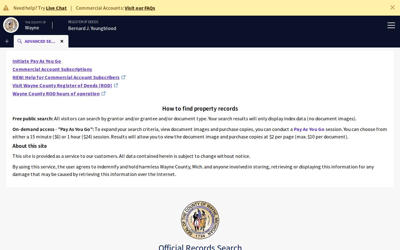
For pre-1960 or unavailable online material, use the Register of Deeds search-by-mail procedure or the Detroit office and kiosk. Ask for a specific instrument or a legal-description search, not a broad name dump. Historic street sections are a separate library trail: regional Bresser leads cover 1961-1977 and 1979-1996, while Polk Western Wayne County leads cover 1996-1998. Verify Westland inclusion and the actual edition before relying on an entry. Westland Public Library and the Library of Michigan's print, microfilm, and catalog routes are the practical library fallbacks. The historical collections themselves are described on the Westland City Directory page.
Westland Street Directory Privacy Limits
A Westland address record chain cannot establish a complete roster of people at every address. The city warns that assessment data can be stale. GIS and tax results are not title or occupancy proof. MVIC is not a browsable street voter list, and protected QVF fields include identity and contact details. Michigan Address Confidentiality Program participants may use a designated address; an address discrepancy is never a reason to identify or reconstruct a protected location. Date-stamp results, preserve the custodian's label, and treat a no-result as a source-specific result rather than a universal negative.
Lawful use. Use Westland street records for personal, lawful research and property history. Michigan law prohibits stalking through repeated harassment or unconsented contact, so do not use a record trail to track, intimidate, or harm anyone.
Wayne County also offers a practical fraud-monitoring route. The Mortgage and Deed Fraud Unit provides the official complaint and hotline path for a suspicious recorded instrument.
The county's Property Alert notice can prompt a check of the instrument index, but an alert is not a deed image, title decision, or finding of wrongdoing. Confirm any concern with the recorder's office.